
The Archive
The visual archive
Historic maps, manuscripts and works of art that picture the Apostle Paul, his journeys and his world — drawn from public-domain and openly-licensed collections, each shown with its full source and credit.
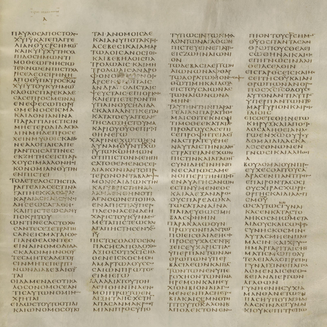 manuscriptCodex Sinaiticus: 1 Timothy 1-2 (4th century)A public-domain reference on a page of the fourth-century Codex Sinaiticus showing the opening of the First Epistle to Timothy, one of the earliest surviving witnesses to the Pauline text, from the British Library.British Library, Add MS 43725 (via codexsinaiticus.org / Wikimedia Commons)Read →
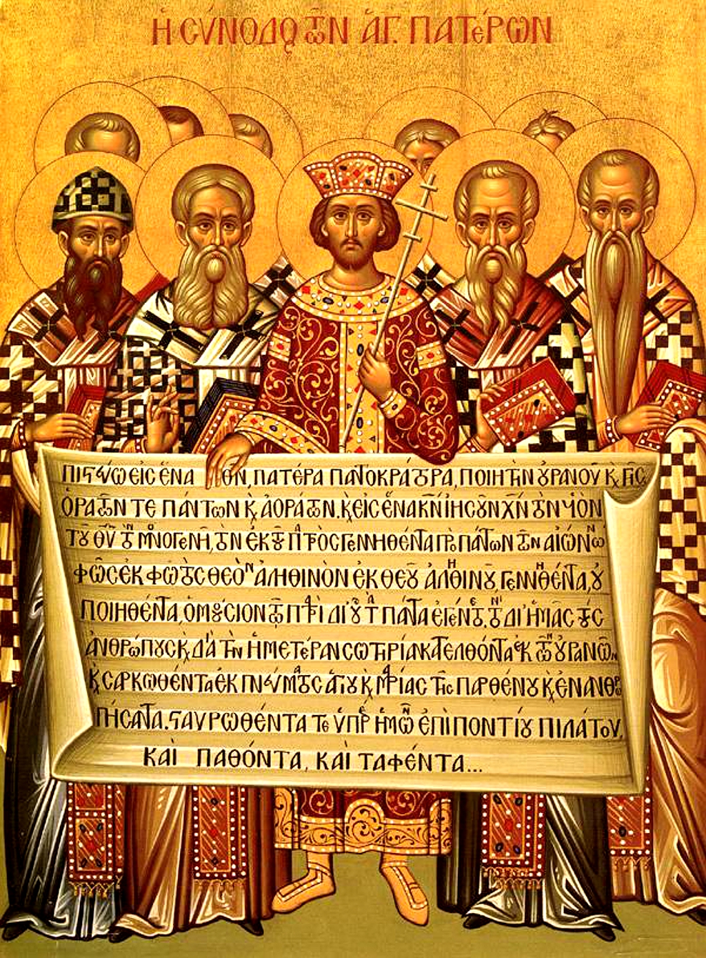 iconIcon of the First Council of Nicaea (325 CE)A public-domain reference on an icon depicting the First Ecumenical Council of Nicaea of 325 CE with the Nicene Creed, noting that the date of the icon itself is not documented, from Wikimedia Commons.Uploaded from Mediatheque chretienne (via Wikimedia Commons)Read →
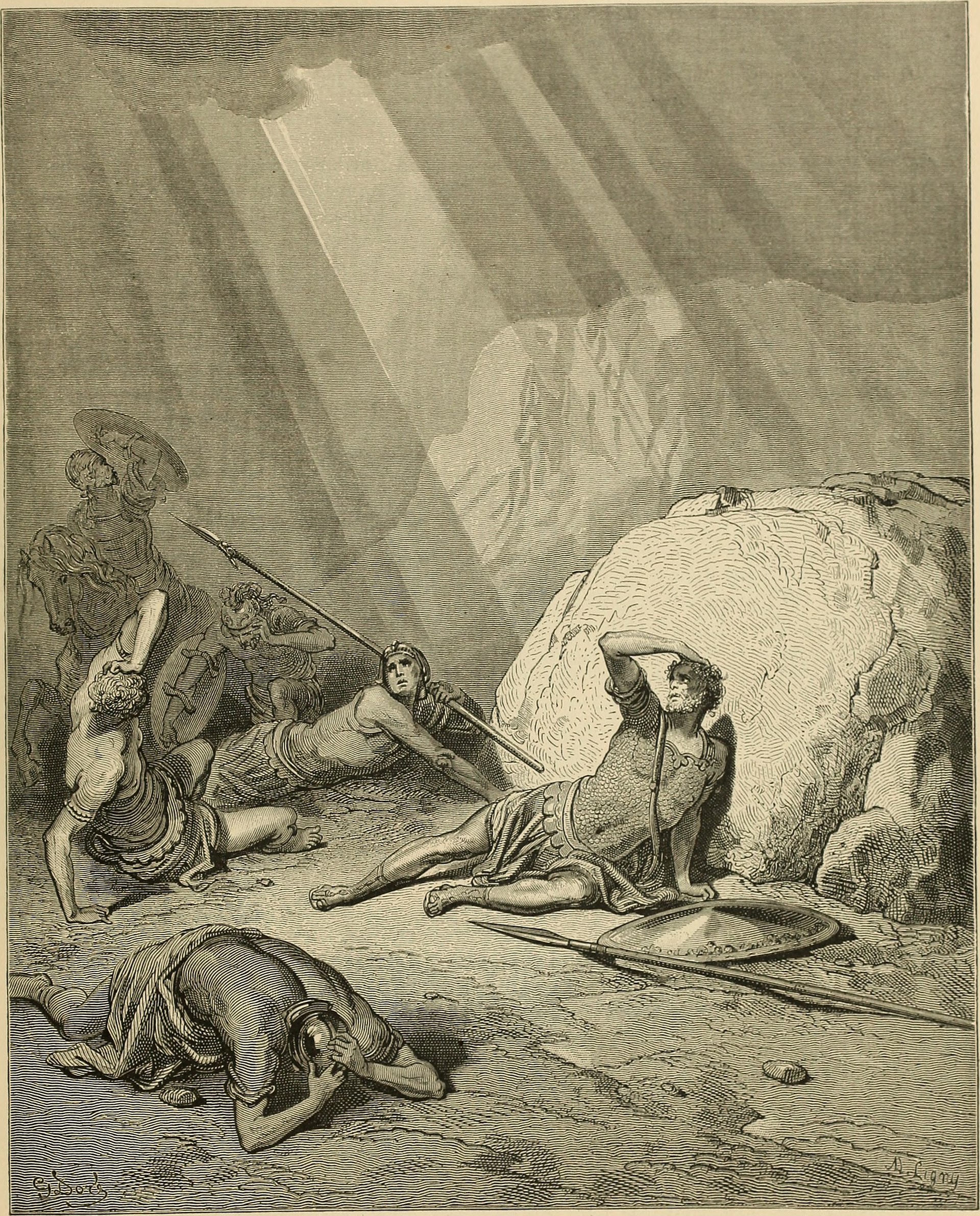 engravingGustave Doré, The Conversion of Saul (engraving)A public-domain reference on Gustave Doré's wood-engraving of the conversion of Saul on the road to Damascus (Acts 9), reproduced in The Bible Panorama (1891) and carried with no known copyright restrictions.Reproduced in The Bible Panorama (1891); Library of Congress / Flickr Commons feed (via Wikimedia Commons)Read →
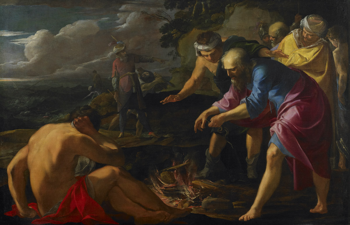 paintingLaurent de La Hyre, Saint Paul Shipwrecked on Malta (1630)A public-domain reference on Laurent de La Hyre's 1630 oil painting of St Paul's shipwreck and survival on Malta (Acts 27-28), held by the Birmingham Museum of Art, Alabama.Birmingham Museum of Art, Alabama (accession AFI1.2004) (via Wikimedia Commons)Read →
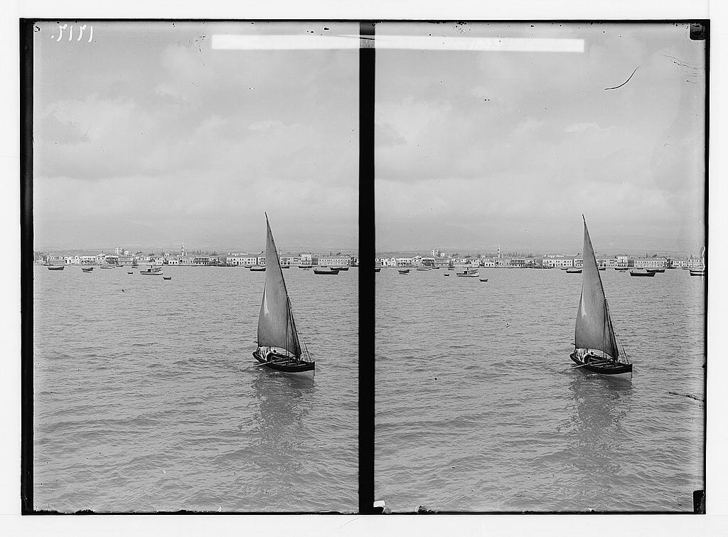 photoMersina from the Sea (American Colony photograph, c. 1900-1920)A public-domain reference on an early-twentieth-century photograph of Mersin (Mersina) seen from the sea, the Mediterranean port serving Tarsus, from the Library of Congress Matson (American Colony) Collection.Library of Congress, American Colony Photo Department / Matson CollectionRead →
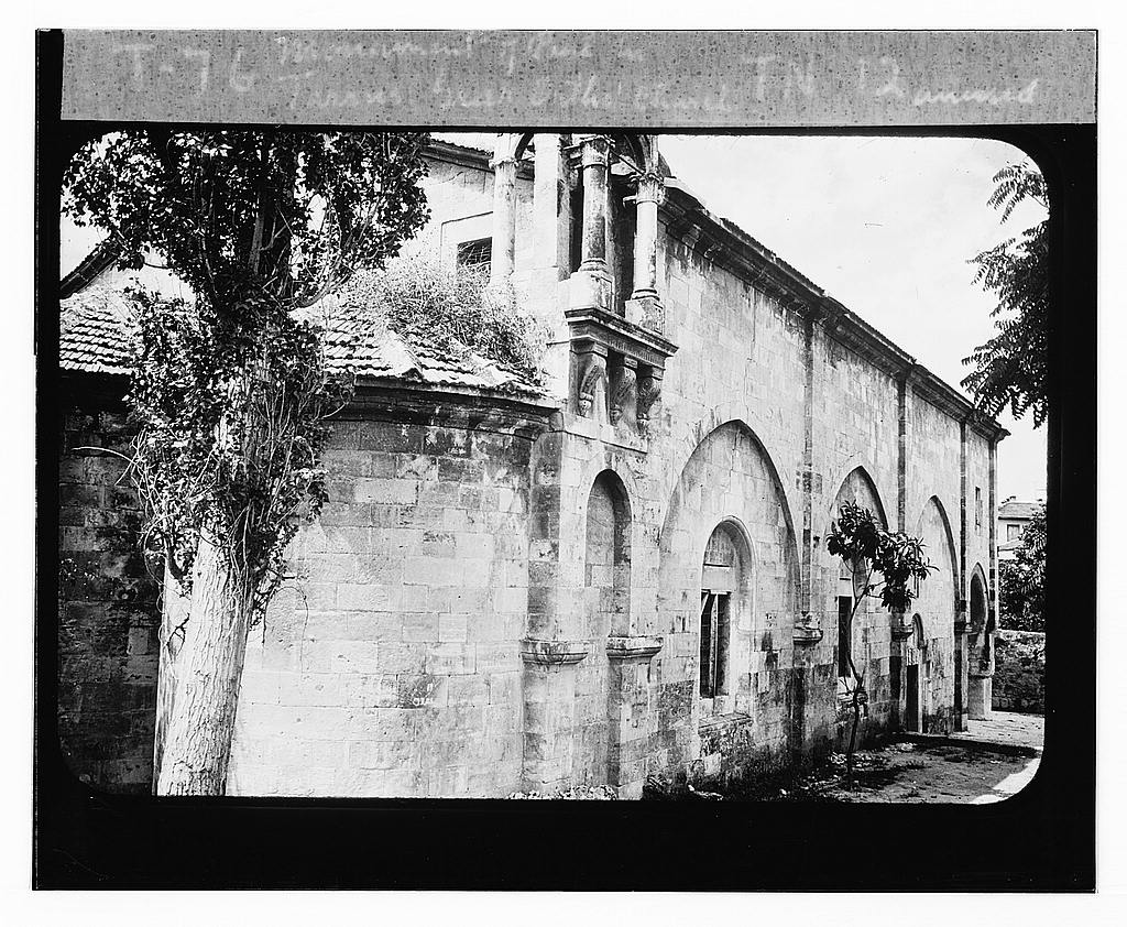 photoMonument of Paul in Tarsus (Matson photograph, 1898-1946)A public-domain reference on an early-twentieth-century photograph of the St Paul monument and church site in Tarsus, the apostle's birthplace, from the Library of Congress Matson (American Colony) Collection.Library of Congress, G. Eric and Edith Matson Photograph Collection (LC-DIG-matpc-07393)Read →
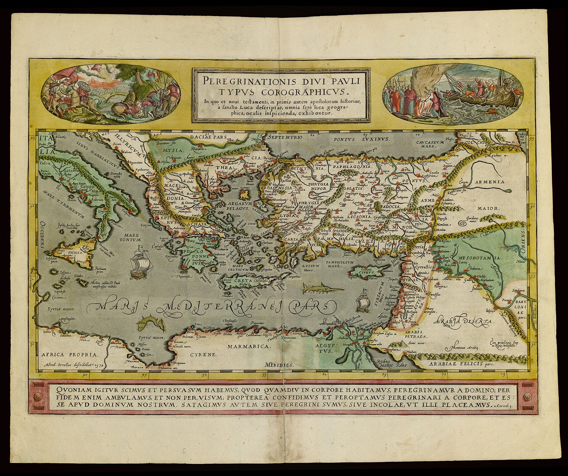 mapOrtelius, Peregrinationis Divi Pauli Typus Chorographicus (1579)A public-domain reference on Abraham Ortelius's engraved map of the travels of St Paul — one of the earliest dedicated cartographic depictions of the apostle's Mediterranean journeys as narrated in Acts, held by the National Library of Israel.National Library of Israel, Eran Laor Cartographic Collection (via Wikimedia Commons)Read →
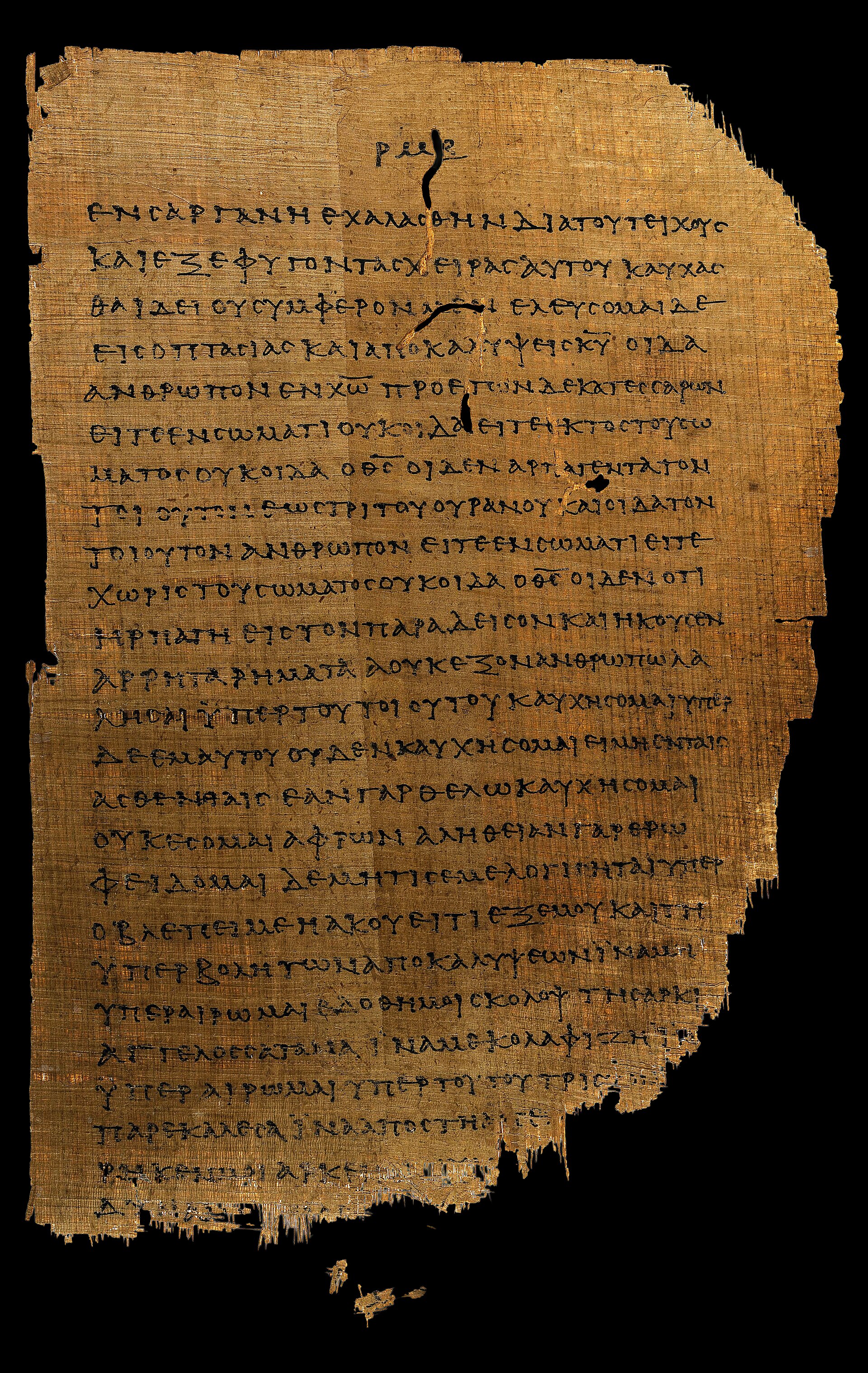 manuscriptPapyrus 46: 2 Corinthians 11:33-12:9 (c. 175-225)A public-domain reference on a leaf of Papyrus 46, the oldest surviving codex of the Pauline epistles, showing 2 Corinthians 11:33-12:9, from the University of Michigan Papyrus Collection.University of Michigan Papyrus Collection (P.Mich.inv. 6238) (via Wikimedia Commons)Read →
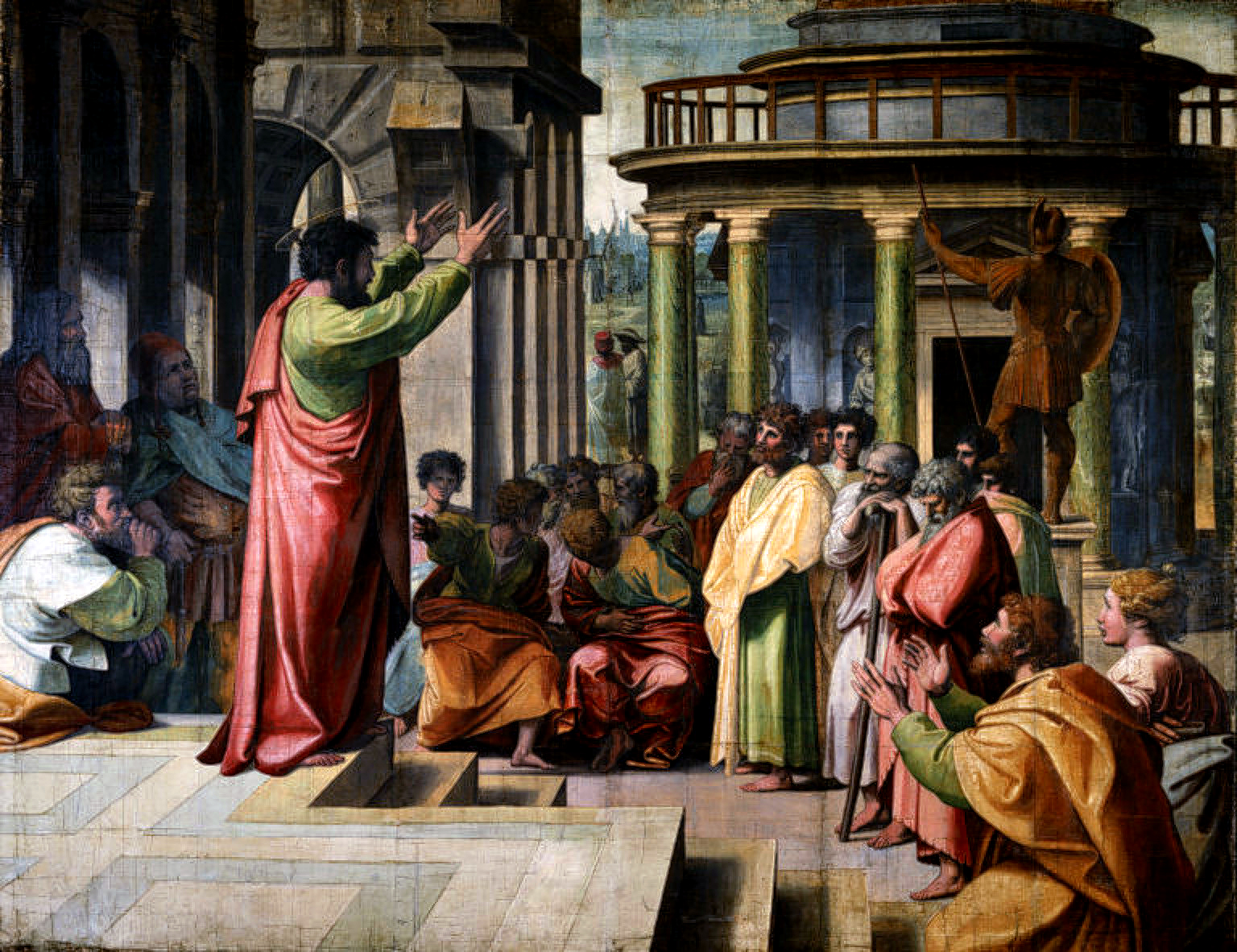 paintingRaphael, St Paul Preaching at Athens (cartoon, 1515)A public-domain reference on Raphael's full-scale tapestry cartoon of St Paul preaching to the Areopagus in Athens (Acts 17), one of the seven Raphael Cartoons commissioned by Pope Leo X, held by the Victoria and Albert Museum.Victoria and Albert Museum, London (Royal Collection loan) (via Wikimedia Commons)Read →
 mapThe Tabula Peutingeriana (Miller facsimile, 1887/88)A public-domain reference on the Tabula Peutingeriana — the sole surviving map of the late-Roman road network — reproduced in Konrad Miller's facsimile, whose eastern sheets show the Cilician roads and the Cilician Gates by which St Paul travelled.Konrad Miller 1887/88 facsimile of the medieval copy (via Wikimedia Commons)Read →